Contact Details
Whapmagoostui-Kuujjuarapik Research Station
Centre for Northern Studies (CEN)
C.P. 59
Kuujjuarapik, Québec
CANADA J0M 1G0
- Phone: +1 819 929-3319
- Email: station@cen.ulaval.ca
STATION NAME AND OWNER
The CEN Whapmagoostui-Kuujjuarapik Station is owned and run by the Centre d’études Nordiques (CEN: Centre for Northern Studies) with its secretariat based at the Université Laval, Québec, Canada. It is on Cree land and is run in collaboration with the Cree First Nation of Whapmagoostui.
LOCATION
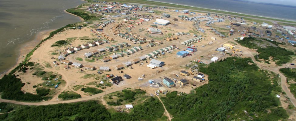
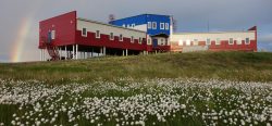
The CEN Whapmagoostui-Kuujjuarapik Station (55°16’50” N, 77°45’10” W) is located on the eastern shore of Hudson Bay at the maritime limit of James Bay, and in the adjacent villages of Whapmagoostui (Cree First Nation) and Kuujjuarapik (Inuit).
BIODIVERSITY AND NATURAL ENVIRONMENT
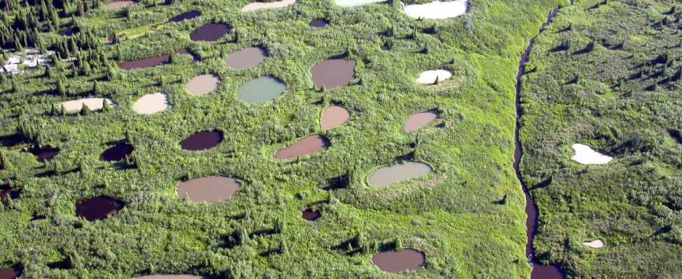
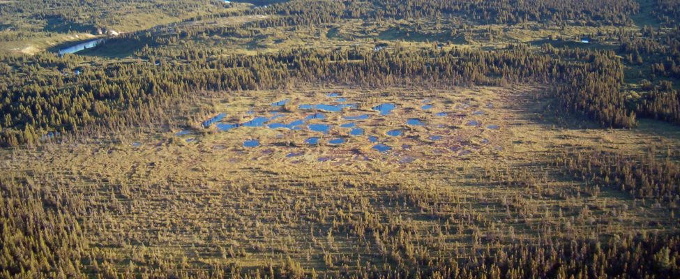
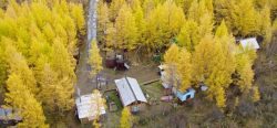
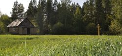
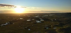
The climateThe average weather we would expect over a long period of time (seasons, years, decades). Climate varies from place-to-place across the Earth. Climate is determined by long-term (over at least... More at Whapmagoostui-Kuujjuarapik is strongly influenced by the proximity of Hudson Bay, and the recent pronounced loss of sea ice in this sector of northern Canada has been accompanied by large increases in air temperature. Discontinuous or scattered permafrostPermafrost is frozen ground that remains at or below zero degrees Celsius (32 degrees Fahrenheit) for two or more years. It forms in regions where the mean annual temperature is... More occurs throughout the region and is degrading rapidly. Whapmagoostui-Kuujjuarapik is located at the terrestrial boundary between taigaBoreal forest, a nearly continuous belt of coniferous trees across North America and Eurasia. Taiga is dense forest with many fallen trees and marshy soil. The term derives form the southern Siberian Turkic-Mongol... More and tundraA type of ecosystem in which tree growth is limited by low temperatures. The origin of the word is from from the Kildin Sami word t?ndâr, meaning "uplands" or "treeless mountain tract". In the northern... More. South of the Great Whale River is the taigaBoreal forest, a nearly continuous belt of coniferous trees across North America and Eurasia. Taiga is dense forest with many fallen trees and marshy soil. The term derives form the southern Siberian Turkic-Mongol... More zone (BorealNorthern, from Boreas, the Greek god of the north wind.... More forest), while north of the river, the forest tundraA type of ecosystem in which tree growth is limited by low temperatures. The origin of the word is from from the Kildin Sami word t?ndâr, meaning "uplands" or "treeless mountain tract". In the northern... More zone progressively dominates the landscape. The vegetation type is coastal forest tundraA type of ecosystem in which tree growth is limited by low temperatures. The origin of the word is from from the Kildin Sami word t?ndâr, meaning "uplands" or "treeless mountain tract". In the northern... More, with some 400 recorded species. Parabolic dunes occur along the coast and are strongly influenced by plant cover. Paleoecological studies have documented the Holocene evolution of landscapes, including lakes, wetlands, and forests. The Manitounuk Islands, located just a little north along the coast, are part of the Hudsonian cuestas that are characterized by rocky beaches and vertiginous cliffs.
HISTORY AND FACILITIES
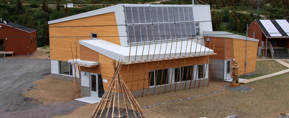
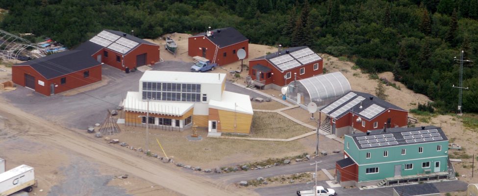
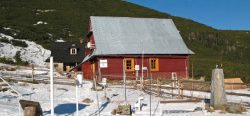
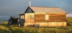
The first signs of human occupation in the Whapmagoostui- Kuujjuarapik region have been dated at 3800 BP. In the past, the English name Great Whale and the French name Poste-dela- Baleine have been used to designate this community. The Hudson Bay Company (HBC) established the first fur trade post here in 1750 and marked the onset of continuous occupation. This station is the CEN’s principal field station and has operated since the 1970s, with diverse research projects on past and present environments. In 2010, major upgrades to the station were undertaken, consisting of the construction of a state-of-art Community Science Centre to serve the needs of the circumpolar science community for research planning, information exchange, national research workshops, and coordination of field operations, and the local communities for information exchange, identification of northern research needs, science training of northerners, exchange of traditional knowledge, and outreach activities. The centre offers a conference room with a capacity for 50 participants, a permanent, interactive display on local natural history and on CEN research activities. In addition to this new building, the station also has wet and dry laboratories, a greenhouse, a dormitory, a cafeteria (with full-meal services during the summer season), vehicles for rent, wireless internet, rental of sampling and camping equipment, and an onsite station manager.
GENERAL RESEARCH AND DATABASES
Current projects include work on biodiversityBiological diversity. The many and varied forms of life on Earth (collectively known as biota). As well as diversity of species (species diversity), there is also diversity within populations of a... More and dynamics of northern aquatic ecosystems; impacts of thawing permafrostPermafrost is frozen ground that remains at or below zero degrees Celsius (32 degrees Fahrenheit) for two or more years. It forms in regions where the mean annual temperature is... More in the context of global warmingThe enhanced greenhouse effect due to human activity and the resulting widely accepted rising average temperature near the surface of the Earth since the late 19th century (and its projected... More; wetland paleoecology; restoration of vegetation in degraded sites, and research on mercury dynamics (in relation to air, precipitation, snow). An overview of past studies in this region is given in: Bhiry, N., et al., 2011: Ecoscience 18: 182-203. CEN operates several climateThe average weather we would expect over a long period of time (seasons, years, decades). Climate varies from place-to-place across the Earth. Climate is determined by long-term (over at least... More stations in the area. In addition to the available scientific literature, CEN has extensive climateThe average weather we would expect over a long period of time (seasons, years, decades). Climate varies from place-to-place across the Earth. Climate is determined by long-term (over at least... More data recorded since 1957 which are available at: www.cen.ulaval.ca/nordicanad or upon request (cen@cen.ulaval.ca).
HUMAN DIMENSION
This bicultural community represents the ancestral limit of the Cree and Inuit territories. It is both the northernmost Cree community and the southernmost Inuit community in Quebec. Whapmagoostui-Kuujjuarapik has a population of about 1600 inhabitants. The spoken languages are Cree, Inuktitut, and English with some French. Rapid social, economic, and environmental change, initiated in the mid-20th century, continues to this day.
ACCESS
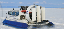
Whapmagoostui-Kuujjuarapik is only accessible by commercial airlines. All research activities must be planned well in advance. Local guides and translators are available for hire. Access to the surrounding area by chartered flights, boat, and all-terrain vehicles can be organized by the station manager.
