STATION NAME AND OWNER
M&M Kłapa Research Station is run by the Institute of GeographyThe study of the Earth, such as places, landforms, people and processes by which the Earth changes over time. Geography is divided into two main branches: human geography and physical... More and Spatial Organization, Polish Academy of Sciences, Department of Geoenvironmental Research
LOCATION
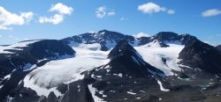
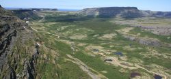
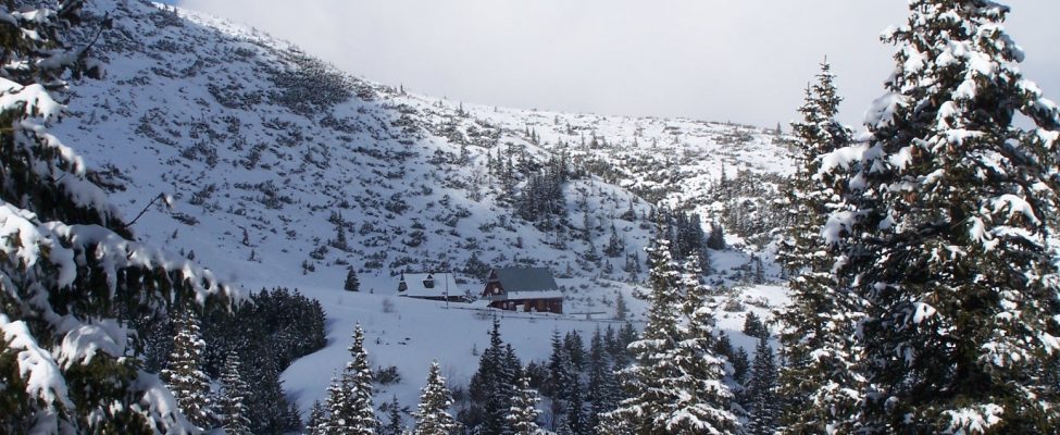
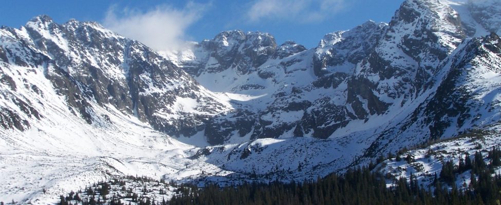
The station is located in the Tatra Mountains, at the Hala Gasienicowa area. Coordinates: N 49o14’39”, E 20o00’21”. The station is located at the upper timberline, the lower limit of periglacial climatic zone, and at 1520 m a.s.l. The highest summit in the area reaches 2301 m a.s.l. The station is situated in Tatra National Park.
BIODIVERSITY AND NATURAL ENVIRONMENT
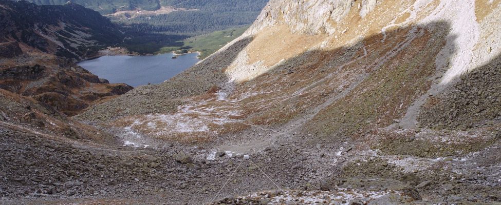
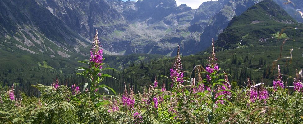
The station is situated in high-mountain environment, with the alpine relief. The average annual temperature is approximately 2.4 oC. Annual precipitation total is 1666 mm, and varies in particular years from 1043 mm to 2626 mm. The vegetation varies from coniferousCone-bearing, as in coniferous trees such as pines and firs.... More forest in forest zone, trough Pinus mugo shrubs in subalpine zone, alpine meadows in alpine zone and bare rocks in subnival zone.
HISTORY AND FACILITIES
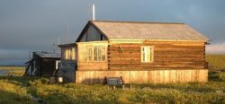
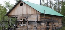
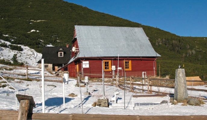
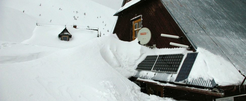
The research started at December 1913, when the first meteorological measurements were made. The more complex environmental research begun the Association of Polish Geographers in 1948 year. At the beginning the station carried out essentially climatic and nival measurements. Since 1953 the station is incorporated into the structure of Institute of GeographyThe study of the Earth, such as places, landforms, people and processes by which the Earth changes over time. Geography is divided into two main branches: human geography and physical... More and Spatial Organization, Polish Academy of Sciences. From this time the range of the investigative problems is wide and embraces the geomorphology, the climatology and biogeography. The station is located in wooden house. The building has central heating, running water, electric charge. The station is 3 rooms, equipped kitchen, pantry, bathroom, magazines. Present facilities include internet access, portable measuring instruments, library.
GENERAL RESEARCH AND DATABASES
The Station constitutes a convenient base for geomorphological, climatic and geobotanic investigations, on account of its highly favorably location. Geomorphological studies focused on recognition of relief evolution and examination of its contemporary transformations. At present time, the studies concentrate on monitoring of relief response and on climateThe average weather we would expect over a long period of time (seasons, years, decades). Climate varies from place-to-place across the Earth. Climate is determined by long-term (over at least... More changes. Climatic studies focus on microclimatic and topoclimatic issues. Studies on vegetation deal with mapping in various scales and with dynamics of changes of vegetation. Meteorological observations are continued under the Institute of MeteorologyThe scientific study of the atmosphere and its phenomena, especially in relation to weather and weather forecasting.... More and Water Management, and long-term data are available. At the station constantly research projects are undertaken, funding by the Ministry of Science and Higher Education of Poland and the National Science Centre. The project are realized both by staff members of the Institute and researcher from other Polish and foreign scientific institutions.
HUMAN DIMENSION
The station is open to national and international scientist. At the same time up to 4-6 persons can stay at the station. All facilities of the station are offered to the guest researchers. The nearest locality – mountain resort Zakopane is within 2-3 hours of the walk. Zakopane has around 30 000 inhabitants.
ACCESS
The station is in distance of 100 km from Kraków-Balice airport and around 5 km from railway and bus stations in Zakopane. Access to the station is by foot, using the marked path as station is located within the national park. However transport of heavy equipment is possible by car. Travel time from the Kraków – Balice airport is around half day.