Collaborator in the project until spring 2022
STATION NAME AND OWNER
The Khibiny Educational and Scientific Station is owned and managed by the Faculty of GeographyThe study of the Earth, such as places, landforms, people and processes by which the Earth changes over time. Geography is divided into two main branches: human geography and physical... More, M.V. Lomonosov Moscow State University, Moscow, Russia.
LOCATION
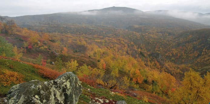
The station is situated in the heart of the Khibiny Mountains on the Kola Peninsula (northwest Russia, 67°38’14” N, 33°43’31” E). The nearest cities are Kirovsk (2 km) and Apatity (23 km).
BIODIVERSITY AND NATURAL ENVIRONMENT
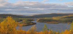
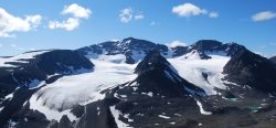
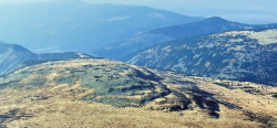
The Khibiny Mountains are located in the central part of the Kola Peninsula which is located within two vegetation zones – tundraA type of ecosystem in which tree growth is limited by low temperatures. The origin of the word is from from the Kildin Sami word t?ndâr, meaning "uplands" or "treeless mountain tract". In the northern... More and taigaBoreal forest, a nearly continuous belt of coniferous trees across North America and Eurasia. Taiga is dense forest with many fallen trees and marshy soil. The term derives form the southern Siberian Turkic-Mongol... More. The vertical zonation is characterised by a shift from forest-tundra low in the terrain to tundraA type of ecosystem in which tree growth is limited by low temperatures. The origin of the word is from from the Kildin Sami word t?ndâr, meaning "uplands" or "treeless mountain tract". In the northern... More vegetation at higher altitudes. The Khibiny Mountains are covered mostly by trees, dwarf shrubs, lichen-shrub, and lichenLiving organisms consisting of two organisms, a fungus (a mycobiont) and a photobiont, living together in a body called a thallus. The photobiont can use light energy to produce sugars.... More dominated tundraA type of ecosystem in which tree growth is limited by low temperatures. The origin of the word is from from the Kildin Sami word t?ndâr, meaning "uplands" or "treeless mountain tract". In the northern... More formations. The Kola Peninsula is the oldest part of the East European Craton with c. 2.5 billion year old Precambrian metamorphic rocks (e.g. greenstone belts, banded iron formations) and associated ore deposits (mainly apatite and iron). The deepest borehole on earth (12 261 m, 1970-1987) was drilled in Sapoljarny (in the NW of the Kola Peninsula close to the Norwegian border, c. 230 km NNE of Khibiny).
HISTORY AND FACILITIES
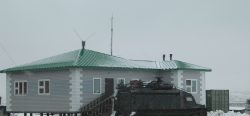
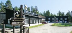
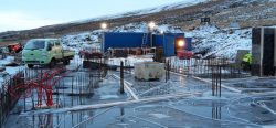
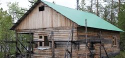
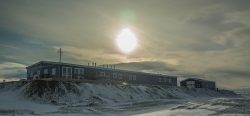
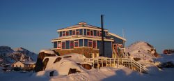
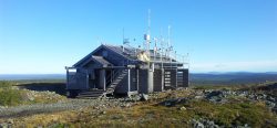
The Khibiny Educational and Scientific Station was founded in 1948 by Prof. G.K. Tushinskiy and is a year-round operating field station for scientists and students. The scientific staff on the station includes four research scientists. During the International Geophysical Year 1957-1958, the station organised many observations and expeditions; and during the International Polar Year 2007-2008 it was involved in numerous international projects. The station facilities include a student accommodation building with dormitories, lecture room, laboratory, and dining room, as well as a staff accommodation building with a few flats available for visiting researchers. A minibus and a 4 WD truck with drivers are available on request. Every year the station hosts summer field courses and winter scientific expeditions for students as well as researchers with specific field projects (in total more than 200 visitors per year).
GENERAL RESEARCH AND DATABASES
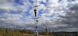
The Khibiny Educational and Scientific Station cooperates with the Centre of Avalanche Protection of JSC “Apatit” (a townplanning company) and the Laboratory of Snow Avalanches and Mudflows of the Moscow State University. The scientific work carried out at the station is fully cooperative and researchers work in collaboration with various units of the Faculty of GeographyThe study of the Earth, such as places, landforms, people and processes by which the Earth changes over time. Geography is divided into two main branches: human geography and physical... More (Moscow State University) and other research organisations in Russia. Post-graduate students and scientists carry out research on glaciologyThe study of glaciers. More, soil science, bio-geography, landscape science, meteorologyThe scientific study of the atmosphere and its phenomena, especially in relation to weather and weather forecasting.... More, and geomorphology. The main research fields are: GIS-mapping (“Khibiny Mountain GIS”), avalanche research (compilation of an avalanche database, avalanche mapping, estimation of activity, hazards and risks of avalanches, GIS), snow cover observations and modelling (GIS and SnowPack Software), meteorological and small glacierA glacier is a large, persistent body of land-based ice that forms over many years where the accumulation of snow is greater than its loss (ablation). The ice in a... More observations, and investigation of nival processes in the Khibiny Mountains.
HUMAN DIMENSION
The nearest cities are Kirovsk (2 km away, with 32 000 inhabitants) and Apatity (23 km away, with 60 000 inhabitants). 85 km from the station lies Lovozero, a settlement of the local Sami communities (c. 3000 inhabitants).
ACCESS
The Khibiny Educational and Scientific Station can be reached by car, bus or train. The nearest international airport is Murmansk, c. 120 km north of Khibiny, the nearest domestic one is in Apatity (23 km away).
