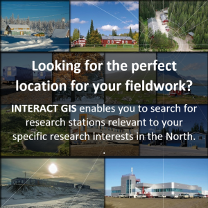
 Looking for the perfect location for your fieldwork?
INTERACT GIS enables you to search for research stations relevant to your specific research interests in arcticDefinitions of the Arctic vary according to environmental, geographical, political, cultural and scientific perspectives. Some scientists define the Arctic as areas having a high latitude, long winters, short, cool summers,... More, borealNorthern, from Boreas, the Greek god of the north wind.... More and alpine regions.
INTERACT is a network of research stations located in the ArcticDefinitions of the Arctic vary according to environmental, geographical, political, cultural and scientific perspectives. Some scientists define the Arctic as areas having a high latitude, long winters, short, cool summers,... More and northern borealNorthern, from Boreas, the Greek god of the north wind.... More and alpine regions.
The INTERACT GIS system has been developed by the research stations to provide a one-stop-shop for information about their facilities, activities and surroundings.
INTERACT GIS contains information about 70+ research stations.
You can find all you need to know about the research station you want to visit, including description of the station, facilities, contact information, and links to websites and access to application systems.
INTERACT GIS allows you to search for stations relevant to your specific research interests and needs.
Filtering functions highlight the stations that meet the criteria you select, e.g. location, landscape features, climateThe average weather we would expect over a long period of time (seasons, years, decades). Climate varies from place-to-place across the Earth. Climate is determined by long-term (over at least... More, natural environment, science, etc.
