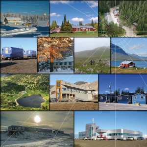
 INTERACT GIS provides information about the more than 85 terrestrial research stations that are members of the INTERACT network. Our newest feature is that also climateThe average weather we would expect over a long period of time (seasons, years, decades). Climate varies from place-to-place across the Earth. Climate is determined by long-term (over at least... More data is available. Try INTERACT GIS today!
INTERACT GIS provides three different types of web-based services:
- Stations
A searchable map of research stations with different filtering functions in relation to their settings. Clicking on a research stations lets you explore more information about the research station, including text descriptions and facts about the station operations, facilities, science activities, climateThe average weather we would expect over a long period of time (seasons, years, decades). Climate varies from place-to-place across the Earth. Climate is determined by long-term (over at least... More data and surroundings. - Research
A searchable research project database (under continuous development) with information about historical and current research projects at the stations. - Application
An application module for scientists applying for access to the research stations. The INTERACT GIS application module is currently used by only a few INTERACT research stations. Application information for other stations can be found in the description of the research stations (see 1. Stations).
